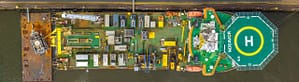
Street View on board
A photographic archive of working vessels, made to work with — not to look at.
What it is.
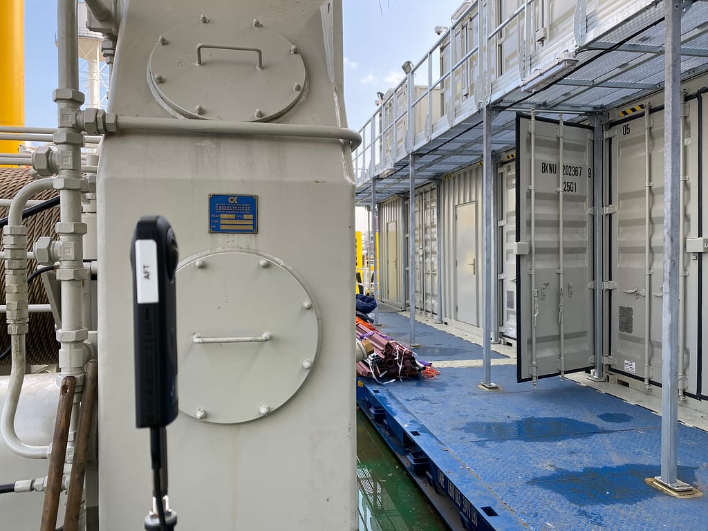
A Virtual Vessel is a walkable photo archive of a ship. You navigate through it like Google Street View, except inside an engine room, along a cable tray, behind a pump, or up in a funnel. Every corner a small camera can reach is captured.
It’s not a 3D scan and not a virtual tour built to impress. It’s a reference that work preparators, technical superintendents, newbuild departments and maintenance teams use day to day. A screenshot from the model ends up in a work order. A designer checks whether a five-year-old design still works the way it was intended. A specialist at a yard in Singapore knows what a connection looks like before stepping on board.
How it started
The idea came from a client. In 2019, a technical superintendent at Boskalis called with a question: could a Street View model on board solve their photo archive problem? Boskalis had folders full of loose images for every ship, and finding the right one took time.
What followed was a two-year pilot, during which Boskalis also evaluated other approaches in the market — scans, 3D models, BIM. For their work, a photographic archive proved most useful: lighter than a scan, faster to access, and with more detail in the places where the technology lives.
The first ship was a rock dumper, a flat-bottomed barge with a self-built stone distribution system. Brand-new construction drawings, but the actual build wasn’t documented anywhere. That’s still the heart of what a Virtual Vessel does — showing what something really looks like, alongside the drawing that shows what it was meant to be.
How it works in practice
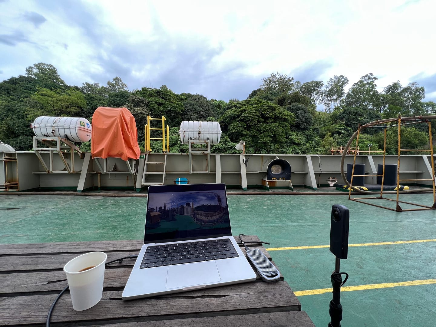
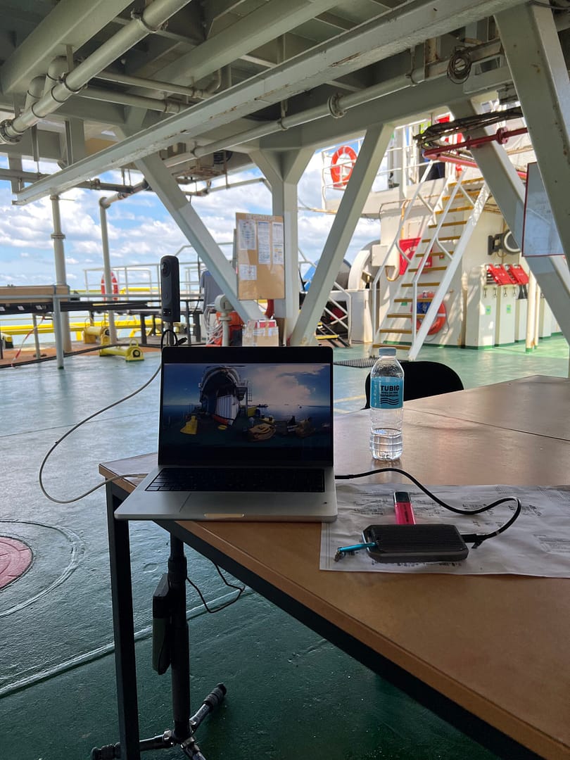
Capturing a ship starts with the General Arrangement on A1, printed and brought on board. Room by room, it gets worked through and ticked off. No route to follow, but a system that covers everything.
In each space, what’s there gets photographed. Connections, cables, pipes, penetrations, the back of equipment, cable trays overhead. The camera is small enough to fit through a manhole or be held above an installation. A single shot of a tray often shows in one glance which cables run through it, how they’re fastened, and whether there’s any rust.
A 360° photo always captures more than the reason it was taken. A cable shot from low to high catches the ceiling structure for free — and that ceiling structure may be just as valuable to someone with a different question, years later.
Who uses it
The archive is used by different departments at the same time, each with their own questions.
Work preparators build work orders around it. A screenshot from the model goes straight into the instruction for the specialist carrying out the job — often someone at a yard in Singapore or Rotterdam who doesn’t know the ship. Engineering looks at existing solutions before designing a modification. The newbuild department learns from the fleet already in service: what still works as intended after five years doesn’t need reinventing.
Subcontractors and yards are given access before they quote. They see what’s on board, know what to expect, and price the work realistically. That avoids the familiar pattern where a contractor discovers halfway through that a stair has to come out, or a wall has to be opened up for access.
The safety department uses it to brief external parties. New crew members orient themselves digitally before they arrive on board — useful for cadets and specialists travelling from far away. And sometimes the project’s own client wants to look in: on large infrastructure jobs, the end client wants to see the equipment that will execute their work, without having to fly to the other side of the world.
One archive, one way of working, and many ways to draw value from it.
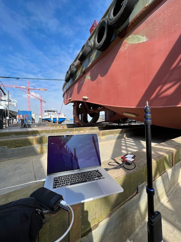
Virtual Vessel users feedback from LinkedIn (Loek ten Broeke, Boskalis)
“How nice to know and see where this technique / idea comes from!
I use your technology/photos almost daily from my position at Central Fleet Support. What is where, how can we start pulling cables, is there something standing, hanging or laying in the way somewhere? You name it. Really indispensable to be able to do my job well! 👌”
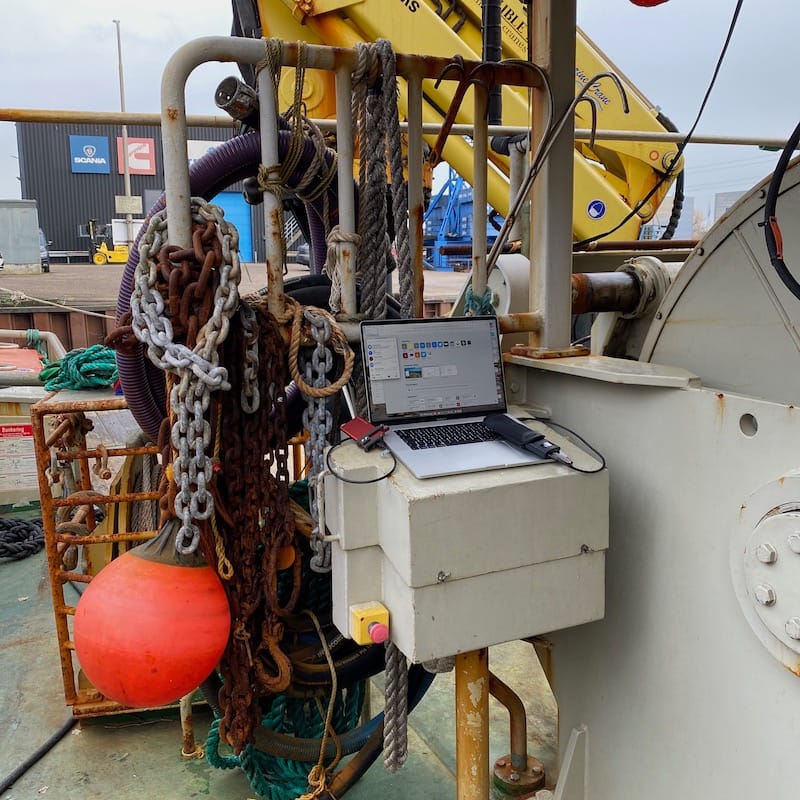
Closing
A Virtual Vessel doesn’t replace a drawing. It’s a layer on top. The drawing for the engineering, the photo for the reality — together they give someone in the office enough to make a sound plan without having to come on board first.
It works best for fleets where varied technology lives on board and where maintenance announces itself rather than waiting to be scheduled. Working vessels that respond, every day, to whatever they encounter.
If that sounds like your fleet, an online demo takes about twenty minutes.